
Hamna Hussain
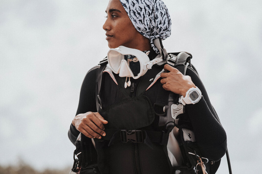
Growing up on the island of Fuvahmulah, Hamna Hussain fell in love with the ocean and its apex predators at an early age. Driven by this passion, she became her island’s first female dive instructor, a journey that meant breaking through long-standing barriers in a heavily male-dominated industry.
Witnessing rapid changes in the marine environment firsthand, Hamna felt a deep responsibility to take action. This inspired her to co-found MIYARU, a non-profit organization dedicated to studying, documenting, and protecting shark populations across the Maldives. Through her fieldwork, she noticed significant gaps in localized scientific data, compounding environmental pressures, and a growing disconnect between conservation efforts and the public.
To bridge these gaps, Hamna started The Spot On Project, an inclusive, community-led conservation effort that brings local knowledge and field data together. Today, her greatest passion is using these initiatives to raise awareness and educate people about the ocean and sharks, ensuring Maldivians lead the protection of their own natural resources.
Project Overview
The Spot On Project is a community-led conservation initiative designed to establish the first national scientific baseline for the Endangered Indo-Pacific Leopard Shark (Stegostoma tigrinum) in the Maldives. Focusing on key habitats across Central Maldivian atolls, the project addresses a critical gap in localized marine data while confronting escalating environmental pressures.
To bypass the extractive models of traditional “parachute science,” the project integrates a mixed-methods approach that pairs non-invasive underwater photo-identification tracking with Local Ecological Knowledge (LEK) interviews. By recording decades of memory from veteran Maldivian fishers, captains, and dive guides, the initiative reconstructs historical population baselines to accurately map migration trends, seasonal triggers, and critical reproductive habitats.
Ultimately, The Spot On Project translates crowd-sourced field data into actionable, multi-layered GIS mapping resources for local island councils and national environmental authorities. This data serves as a predictive blueprint to design co-managed Marine Protected Areas (MPAs). Anchored heavily in inclusive education and outreach, the project equips coastal communities with the scientific tools and data ownership needed to actively lead the preservation of their own marine resources.
